Fetch · Our Story
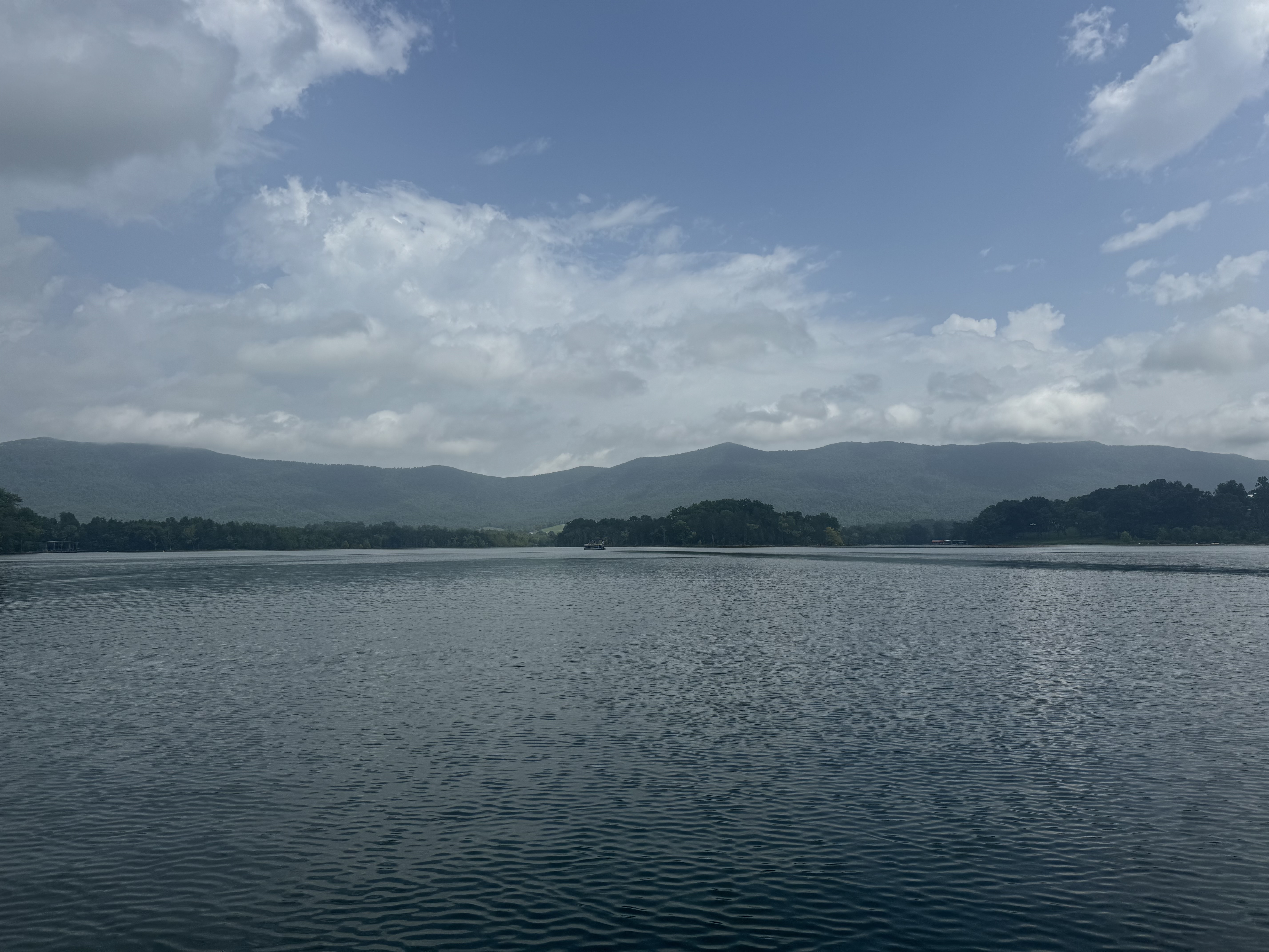
Fetch started from a simple frustration: checking wind apps and still not knowing whether Morse was worth the trip — or, once you were out there, where on the lake the water was actually runnable. Traditional forecasts give you wind speed and direction. They don't answer the question riders care about most: where is the water actually usable right now?
That answer depends on fetch — the uninterrupted distance wind travels across open water before reaching a given point. Short fetch means protected water. Long fetch means chop building. The same north wind that blows out the main channel can leave the southwest arm of the same lake completely calm. Every lake has both. Most tools don't know the difference.
So we built a model that does. Real shoreline geometry, bathymetric depth data, live wind — fused into a spatial layer that scores every part of a lake individually. Useful before you go, and useful when you're already on the water deciding where to move next. Morse Reservoir was the origin — the proving ground where the system was built and validated. It's live now. The same pipeline scales to every lake that follows.
How It Works
Built By
Cicero, IN · Founder, Fetch
I grew up on Morse Reservoir and spent years making calls based on forecasts that had no idea what the water actually looked like. Fetch is the answer to that problem — built because no existing tool was solving it, and designed to work on every lake it reaches. If you're interested in partnerships, beta feedback, marina integrations, or just want to talk about the water, reach out.
Get In Touch →Open to marinas, events, water-sport organizations, and collaborators building for the lake.